In the Southern Lands – or Suðurland – one of Iceland’s eight regions, a small village called Vík í Mýrdal is located. As for the last statistics, the village counts 291 inhabitants.
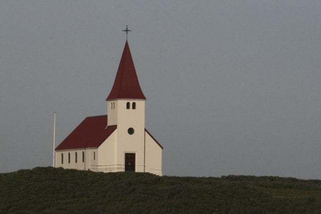
There are not many highlights in the village itself, beside maybe a restaurant close to the service station – which is always full, being it the only one around – and a small white wooden church with red roof, a characteristic style for Iceland’s holy buildings. But Vík í Mýrdal’s strategic position along Road 1 (Hringvegur), at the feet of the glacier known as Mýrdalsjökull, make the village a necessary stop to visit the region’s natural attractions, as Dyrhólaey, Mount Reynisfjall and Reynishverfi‘s black beach.

Dyrhólaey is a promontory with steep walls, up to 115 metres high. Under this peninsula lies the huge lava arc its name comes from. On its top a lighthouse has been built in 1927 with the largest lens of all of Iceland’s lighthouses.
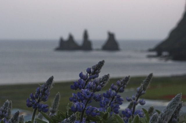
East of Vík í Mýrdal rises Mount Reynisfjall, about 340 metres, whose slopes end directly in the sea not far from Reynisdrangar, three basaltic rocks which are the remains of a larger coastline eroded by the Atlantic Ocean.
A more romantic explanation for these rocks is given by the legend of two giants who, trying to take ashore a ship at nighttime, have been caught by the early morning sunlight and transformed, along with the ship, in the rocks we see nowadays. The three of them have a name, which are: Skessudrangur, Langhamar and Landdrangur.

A small road starting from Vík í Mýrdal – not too hard to walk through – will get you on the top of the mountain to enjoy a fantastic view over the legendary rocks and Dyrhólaey promontory.
At the beginning of the mountain there are some basaltic columns shaped like an organ pipe which end at the black beach called Reynishverfi and form the large cave known as Hálsanefshellir, one of Iceland’s most popular attractions. The whole area is crowded by puffins in summertime and is therefore an interesting spot for birdwatchers.


